
Biodiversity monitoring and reforestation
A web-based service whose machine-learning models, trained on satellite imagery, monitor plant biodiversity over time. Where degradation is detected, it provides guidelines for successful restoration practices.
Built for the Attica region as part of the IMPETUS Attica Digital Twin, funded under Horizon 2020. It brings satellite data, analytics and stakeholder knowledge together to support forest restoration planning at different levels of governance.
For the people who plan forest restoration
Forest restoration communities
See where forest and biodiversity were lost and which restoration practices suit each area.
Regional authorities
Plan restoration and priority interventions across Attica from shared, mapped evidence.
Policy makers
Base decisions on monitored forest dynamics and documented restoration cases.
Monitoring, classification and restoration advice on one map
Forest loss detection
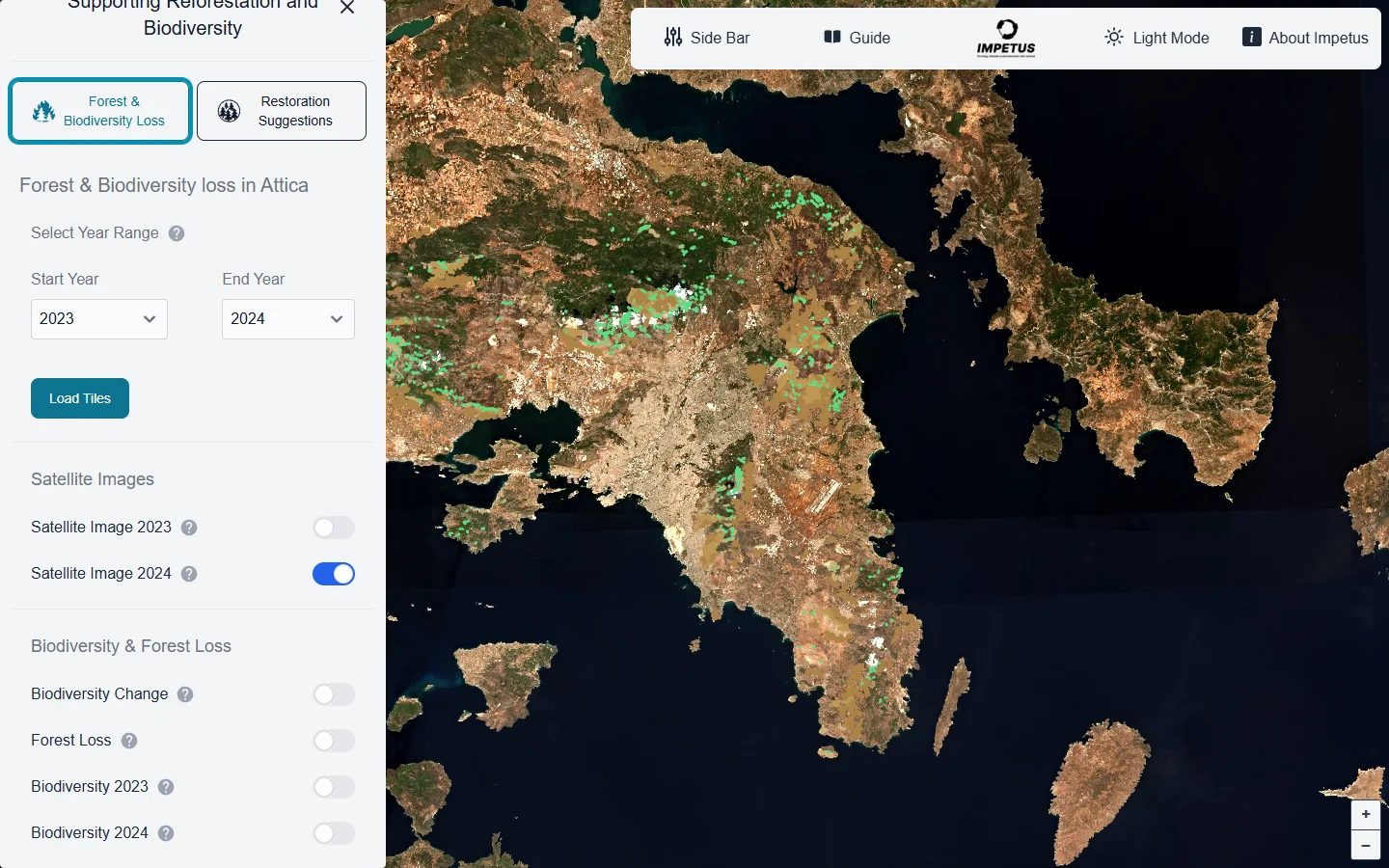
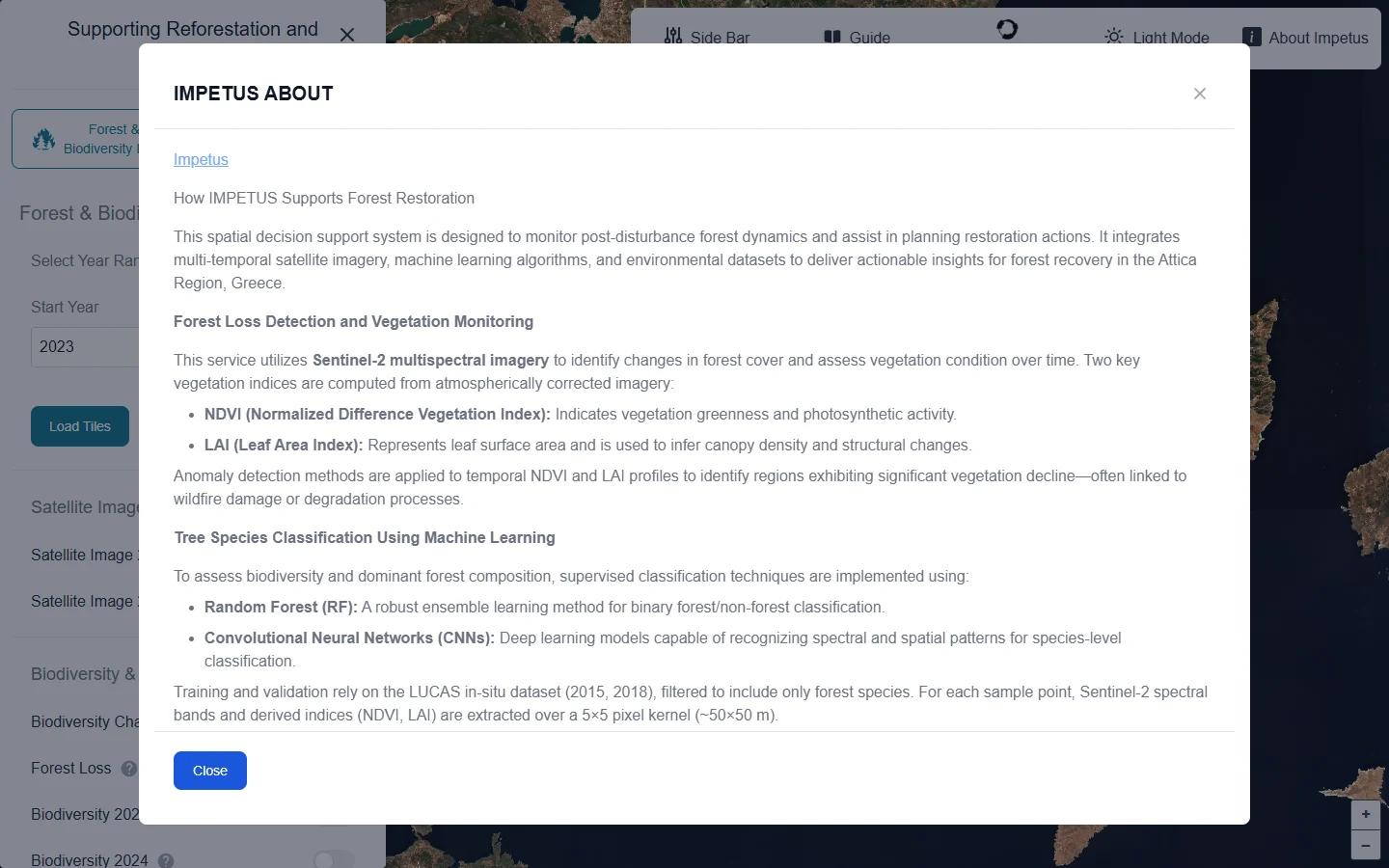
Sentinel-2 imagery and two vegetation indices, NDVI and LAI, show changes in forest cover. Anomaly detection flags areas of significant decline, often linked to wildfire or degradation.
Tree species classification
Random Forest separates forest from non-forest, and convolutional neural networks classify species from spectral and spatial patterns, trained on the LUCAS in-situ dataset.
Restoration recommendations
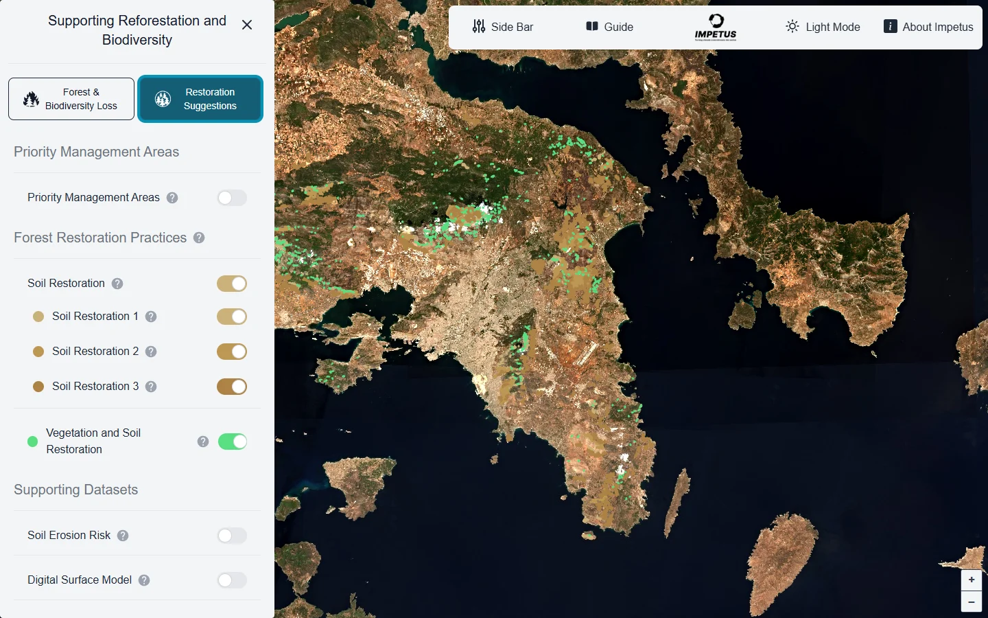
A rule-based decision-support engine checks each degraded pixel for ecological suitability and proposes species, site-specific strategies and priority intervention zones, updated seasonally.
Web-GIS access
Interactive layers for forest loss, biodiversity trends, species change, restoration suitability and priority zones, with web APIs for the Attica Region Digital Twin.
Forest loss layers and the method behind them
From satellite images to restoration priorities
- 01
Collect imagery
Sentinel-2 multispectral images are atmospherically corrected for each year.
- 02
Compute indices
NDVI and LAI profiles describe vegetation greenness and canopy density over time.
- 03
Detect loss
Anomaly detection finds areas where vegetation has declined significantly.
- 04
Classify species
Machine-learning models map forest composition and biodiversity change.
- 05
Recommend restoration
The rule engine combines fire, soil, terrain and climate data to suggest species and priority zones.
Open data in, map layers out
- Sentinel-2 multispectral imagery
- LUCAS in-situ survey data (2015, 2018)
- Fire severity maps, Copernicus DEM and ESDAC erosion risk
- Climate variables, projections and restoration case studies
- Forest loss and biodiversity trend layers
- Species distribution and change detection
- Restoration suitability maps and priority zones
- Web APIs for the Attica Region Digital Twin
- NDVI and LAI vegetation indices
- Random Forest and convolutional neural networks
- Rule-based inference for ecological suitability